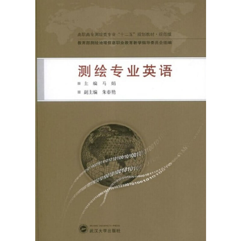
测绘专业英语 / 高职高专测绘类专业十二五规划教材·规范版
定价:¥18.00
作者: 马娟主编
出版时间:2013-02
出版社:武汉大学出版社
- 武汉大学出版社
- 9787307104082
- 1版
- 200653
- 52190919-2
- 16开
- 2013-02
- 101
- P2
- 测绘
- 高职
内容简介
本书是为高职高专测绘类专业学生编写的专业英语教材,由测绘学基本知识、测绘工程领域、测绘新技术、测绘新技术应用、科技英语翻译技巧五部分组成。内容涵盖工程测量、控制测量、数字测图、摄影测量、地理信息系统、全球定位系统、遥感、三维激光扫描技术以及现代测绘新技术的应用等方面。课后配有词汇、词组和短语、疑难句解释、翻译训练。本书适用于高职高专院校测绘专业英语教学,也可以作为电大、各类成人院校师生及工程技术人员的参考用书。
目录
Lesson 1 Basic Knowledge of Geomatics
Lesson 2 Development of Geomatics in China
Lesson 3 Topographic Surveying
Lesson 4 Digital Mapping
Lesson 5 Cadastral Surveying and Real Estate Mapping
Lesson 6 Engineering Surveying
Lesson 7 Control Surveying
Lesson 8 Photogrammetry
Lesson 9 Geographic Information System
Lesson 10 Global Positioning System
Lesson 11 Remote Sensing
Lesson 12 3D Laser Scanning Technology
Lesson 13 Application of GIS in Health Care Facility
Lesson 14 Application of GPS in Cell Phones
Lesson 15 Application of RS in Urban Planning
Lesson 16 Application of 3S in Agriculture
Lesson 17 Application of 3D Laser Scanning Technology in
Cultural Heritage Protection
科技文翻译技巧
Appendix Ⅰ
Appendix Ⅱ
References

